Maps of Walks taken by Wrinkly Former Scouts
This section shows maps and photos of all the routes taken where we have records. They have been split by year as there are a number of routes that have been taken more than once
First of all, click on this link Walking Routes by Year, then select the year you are interested in by hovering your cursor over it and clicking on it.
This will take you to a detailed map of the year where you hover your cursor over the route you want and click when it tells you, that you have selected it.
This will take you to the Album of the walk chosen which will have the map of the Route, a description of the walk, and any photographs.
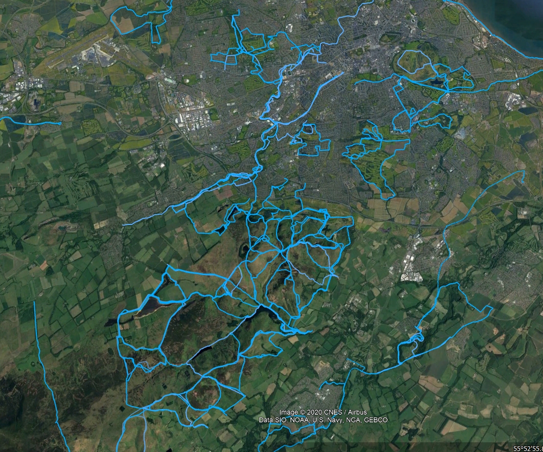
This map of the Edinburgh/Pentland area may give you an idea of the number of walks undertaken and the need to split it by year